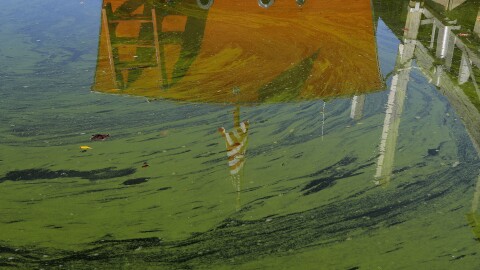
Floodwaters spilling over western Lake Erie's shoreline have swamped streets, shut down ferries and left behind dangerous debris during the past month. Now residents are bracing for more problems.
All the Great Lakes have been rising for several years and now are seeing an increase from winter's melting snow and recent heavy rains.
Lake Erie's water levels are expected to topple records this summer, according to the U.S. Army Corps of Engineers. The lake is 26 inches over its long-term average.
Storms with high winds this spring already have led to flooding along the Ohio shoreline. High water closed several streets in Port Clinton last week.
In April, water spilled over a seawall and cut South Bass Island in half while also temporarily grounding ferries to the island. Homes and businesses also took on water.
Officials at Stone Laboratory, an Ohio State University freshwater research campus on tiny Gibraltar Island, have been watching closely.
"We're worried about damage to our facilities, our docks, our vessels," said Chris Winslow, director of Ohio Sea Grant and Stone Laboratory.
The high water levels also are increasing erosion on the shoreline and leaving logs and debris in shallow parts of western Lake Erie.
"Boaters in particular need to be acutely aware there may be more logs in the water now," said Scudder Mackey, chief of the Ohio Department of Natural Resources office of coastal management.
Ferry service to the Lake Erie islands has been affected by both high winds and high water levels, said Billy Market, a co-owner of Miller Boat Line.
"You can't expect people to walk through 2 to 3 feet of water to get to the docks," Market said. "We've got a good month ahead of it. We're struggling through it. It's been a dismal spring."


